- Kibana Guide: other versions:
- What is Kibana?
- What’s new in 7.10
- Quick start
- Set up
- Discover
- Dashboard
- Edit dashboards
- Explore dashboard data
- Create custom dashboard actions
- Share dashboards
- Tutorials
- Compare sales over time with Lens
- Create your first visualization with Vega-Lite
- Update Kibana filters from Vega
- Create time series visualizations with Timelion
- Timelion tutorial: Create visualizations with mathematical functions
- Create visualizations with conditional logic and tracking trends using Timelion
- Aggregation reference
- Vega reference
- Canvas
- Maps
- Machine learning
- Graph
- Observability
- APM
- Elastic Security
- Dev Tools
- Stack Monitoring
- Stack Management
- Fleet
- Reporting
- Alerting and Actions
- REST API
- Kibana plugins
- Accessibility
- Breaking Changes
- Release Notes
- Kibana 7.10.2
- Kibana 7.10.1
- Kibana 7.10.0
- Kibana 7.9.3
- Kibana 7.9.2
- Kibana 7.9.1
- Kibana 7.9.0
- Kibana 7.8.1
- Kibana 7.8.0
- Kibana 7.7.1
- Kibana 7.7.0
- Kibana 7.6.2
- Kibana 7.6.1
- Kibana 7.6.0
- Kibana 7.5.2
- Kibana 7.5.1
- Kibana 7.5.0
- Kibana 7.4.2
- Kibana 7.4.1
- Kibana 7.4.0
- Kibana 7.3.2
- Kibana 7.3.1
- Kibana 7.3.0
- Kibana 7.2.1
- Kibana 7.2.0
- Kibana 7.1.1
- Kibana 7.1.0
- Kibana 7.0.1
- Kibana 7.0.0
- Kibana 7.0.0-rc2
- Kibana 7.0.0-rc1
- Kibana 7.0.0-beta1
- Kibana 7.0.0-alpha2
- Kibana 7.0.0-alpha1
- Developer guide
IMPORTANT: No additional bug fixes or documentation updates
will be released for this version. For the latest information, see the
current release documentation.
Configure map settings
edit
IMPORTANT: This documentation is no longer updated. Refer to Elastic's version policy and the latest documentation.
Configure map settings
editMaps offers settings that let you configure how a map is displayed. To access these settings, click Map settings in the application toolbar.
Navigation
edit- Auto fit map to bounds
- When enabled, the map will automatically pan and zoom to show the filtered data bounds.
- Zoom range
- Constrain the map to the defined zoom range.
- Initial map location
-
Configure the initial map center and zoom.
- Map location at save: Use the map center and zoom from the map position at the time of the latest save.
- Auto fit map to bounds: Set the initial map location to show the filtered data bounds.
- Fixed location: Lock the map center and zoom to fixed values.
- Browser location: Set the initial map center to the browser location.
Spatial filters
editUse spatial filter settings to configure how spatial filters are displayed.

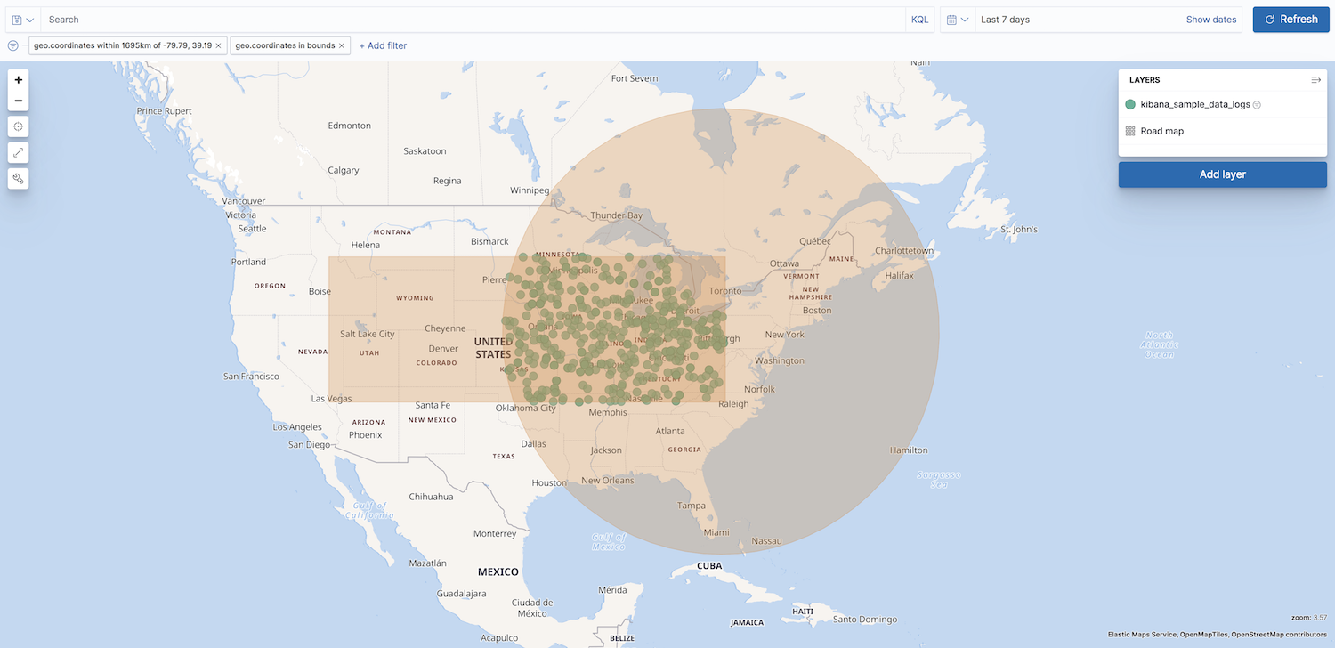
- Show spatial filters on map
- Clear the checkbox so spatial filters do not appear on the map.
- Opacity
- Set the opacity of spatial filters.
- Fill color
- Set the fill color of spatial filters.
- Border color
- Set the border color of spatial filters.
On this page
Was this helpful?
Thank you for your feedback.